South Carolina
Add & Edit
Advertise
About
Contact
SC SITE OF THE DAY:
SC Jobs
SC Businesses
SC Cities
SC Entertainment
SC Events
SC Hotels
SC Photos
SC Real Estate
Aiken Maps – Maps of Aiken, South Carolina
South Carolina
SC Maps
SC City Maps
Aiken Maps
Also see:
Aiken County Maps
Traveling to Aiken?
Aiken SC Hotels
– A Helpful Guide!
City of Aiken SC Maps
City of Aiken interactive GIS map
- locate highways, streets, subdivisions, parks, railroads, rivers, zoning - use top left menu to find addresses, distances - zoom in for detailed aerial photos
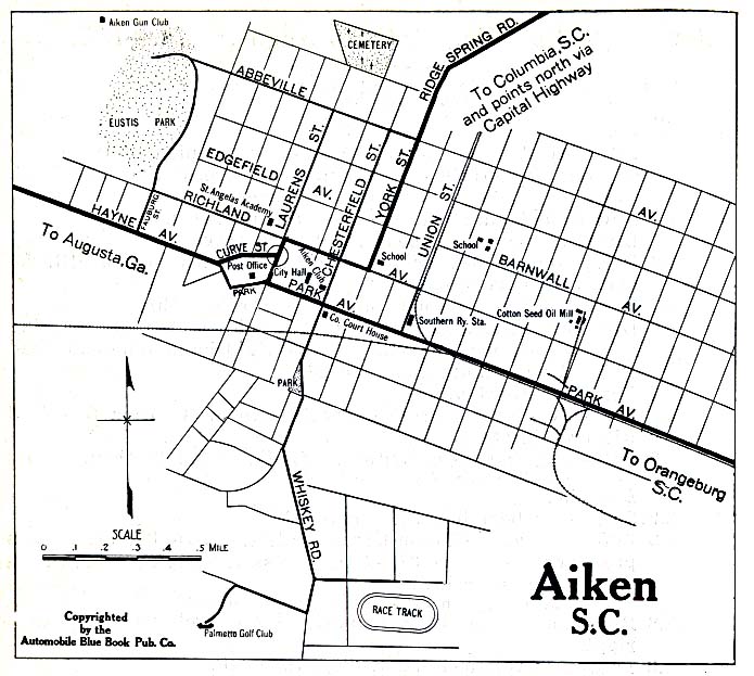
Historical street map of Aiken
- c. 1919
More Aiken Area Maps
Maps of Aiken County
Travel, tourism info for Aiken SC
Search
All SC Categories
SC Bed & Breakfasts
SC Hotels
SC Businesses
SC Jobs
SC Churches
SC Maps
SC Cities
SC News
SC Colleges
SC Organizations
SC Elections
SC Photos
SC Entertainment
SC Real Estate
SC Events
SC Schools
SC Facts & Firsts
SC Taxes
SC Gifts
SC Vacations
SC Government
SC Webcams
SC History
SC Weddings
HOME
ABOUT
ADD INFO
ADVERTISE
CONTACT


